Antique Ordnance Survey Map Of The Western Highlands (SCOTLAND)
£5.00 Buy It Now or Best Offer, £1.75 Shipping, eBay Money Back Guarantee
Seller: aydia63 ✉️ (620) 99.5%,
Location: Carnforth, GB,
Ships to: GB & many other countries,
Item: 156080423914
Antique Ordnance Survey Map Of The Western Highlands (SCOTLAND).
This antique Ordnance Survey map of the Western Highlands of Scotland, specifically Fort William, Skye and Inverness county, during the 1930s. The map is in sheet format and is a genuine antique original from 1934. It was created by Ordnance Survey and features a county map of the region.
The map is of high quality and is perfect for collectors of antique maps or anyone interested in the history and geography of Scotland. It is an ideal addition to any collection of antique maps, and its authenticity and historical significance make it a truly unique item.
Scale is 1/4 inch to one mile. Very good condition.
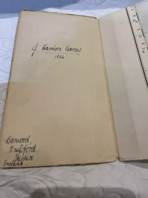
The map is personalised. J Harrison Barrow 1935 and a Cheshire address.
- Antique: Yes
- Date Range: 1930-1939
- Type: County Map
- Format: Sheet Map
- Year: 1934
- Era: 1930s
- Cartographer/Publisher: Ordnance Survey
- Original/Reproduction: Antique Original
- City: Fort William
- Country/Region: Scotland
- County: Inverness
PicClick Insights - Antique Ordnance Survey Map Of The Western Highlands (SCOTLAND) PicClick Exclusive
- Popularity - 1 watcher, 0.0 new watchers per day, 52 days for sale on eBay. Normal amount watching. 0 sold, 1 available.
- Best Price -
- Seller - 620+ items sold. 0.5% negative feedback. Great seller with very good positive feedback and over 50 ratings.
People Also Loved PicClick Exclusive

Vintage 1963 Ordnance Survey Quart Inch Contoured Cloth Map #4 Western Highlands
£5.00 0 Bids 2d 6h
LEARSCÁILÍOCE eirearn Survey Of Ireland Antique Ordnance Survey Map C1901
£11.00 0 Bids 3d 22h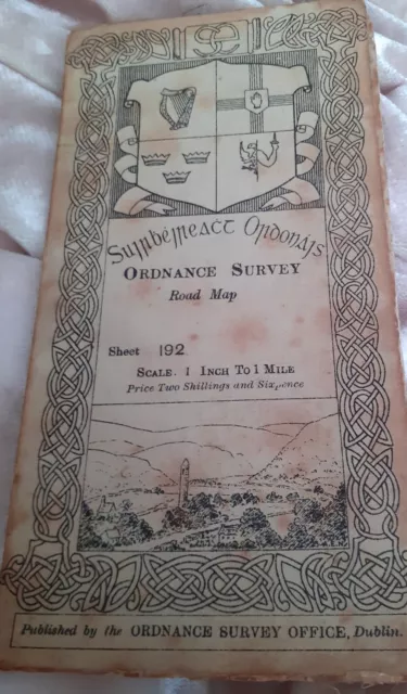
Antique Irish Road map Ordnance Survey Map of Cork & Kerry 1903
£10.50 Buy It Now 16d 19h
1909 Vintage/Antique Ordnance Survey Map 'Country Around Aldershot'
£4.75 Buy It Now 1d 7h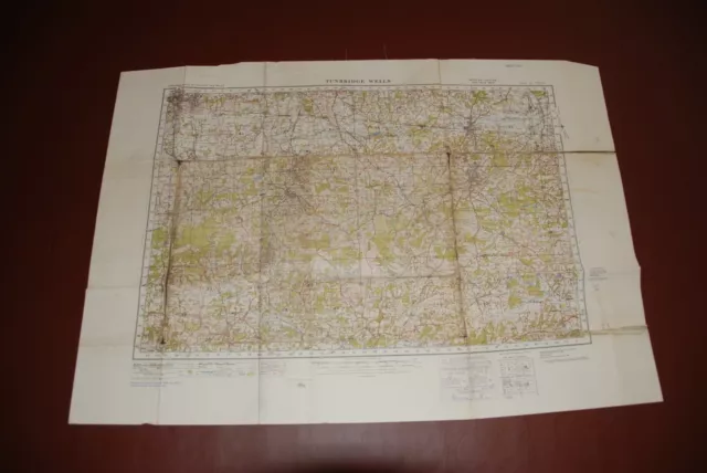
1931 Vintage/Antique 'Tunbridge Wells' War Office Ordnance Survey Map, No 125
£4.75 Buy It Now 1d 7h 8 watchers
Yorkshire Dales: Southern and Western Ar... by Ordnance Survey Sheet map, folded
£7.99£5.99 Buy It Now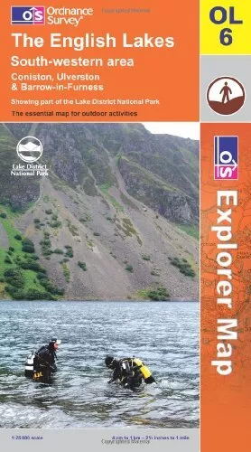 6 watchers
The English Lakes: South Western Area (O... by Ordnance Survey Sheet map, folded
£7.99£4.49 Buy It Now 3 watchers
North York Moors: Western Area by Ordnance Survey Sheet map, folded Book The
£6.99£3.49 Buy It Now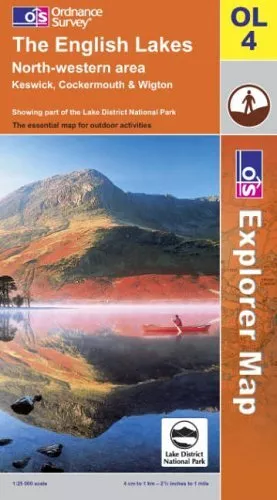 5 watchers
The English Lakes: North Western Area (E... by Ordnance Survey Sheet map, folded
£7.99£3.76 Buy It Now


