Mississippi River Valley Louisiana Usa 1757 Bellin Antique Copper Engraved Map ANTIQUE COPPER ENGRAVED REGIONAL MAP OF UNITED STATES
MISSISSIPPI RIVER VALLEY LOUISIANA USA 1757 BELLIN ANTIQUE COPPER ENGRAVED MAP
Description
Carte de la Floride, de la Louisiane, et pays Voisins. Pour servir à l'Histoire Générale des Voyages. Par M. B. Ing. de la Marine 1757 .
Description: Striking and highly detailed fine unusual 1757 copper engraved map of the United States by the French cartographer Jacques-Nicholas Bellin. Centered on the Mississippi Valley, Bellin's map covers from the Riviere de Nord (Rio Grande) eastward to Lake Ontario and from Lake Huron to the Gulf of Mexico and Florida. This map is extremely rich in detail offering and naming countless American Indian settlements and villages. Bellin offers a wealth of new material throughout marking this map as a unique and meticulously researched production.
Like the Delisle map it is based on, this map is significant on many levels, not the least of which is its presentation, from a French perspective, of the territorial alignments and claims of North America shortly following the outbreak of the French and Indian War. The map's largest text block reads 'Louisiane' and fills the center of the map, clearly defining the map's focus. French territory extends as far east as the Appalachian Mountains, relegating the British colonies to relatively meager Atlantic coastal holdings. On the opposite side of the continent French dominion extends as far as the Riviere du Nord (Rio Grande), including all of Texas and parts of modern day New Mexico - claims associated with La Salle's explorations and colonization of the Gulf Coast in 1685 (these claims, incidentally, led to 19th century U.S. Claims on Texas associated with the Louisiana's Purchase). Detailed identification of hundreds of American Indian nations and settlements throughout the territory, mostly along known river courses, further illustrate France's paternal and comparatively peaceable approach to New World Indian relations, commerce, and colonization.
Most consider the French and Indian War to be a microcosm of the global Seven Years War. It was however notably distinct both in that it began before that larger hostilities in Europe and that most of the major battles involved primarily parties only loosely aligned with the French or English - most specifically American Indians and lawless frontiersman, who had their own political agenda. The war began with French incursions into western Pennsylvania and other territories claimed simultaneously by French, English, and American Indian forces. Just prior to the war, the French, in the interest of broadening their hold on the lucrative fur trade, established a series of forts, all of which are here noted, along the length of the Mississippi and further east, including Fort Duquesne, Fort de la Presquisle, and fort Le Beouf. These last three forts occupied particularly contested territory under the control of the powerful British allied Iroquois League. The most contested of these was Fort Duquesne, which stood at the Forks of the Ohio (modern day Pittsburgh) in direct opposition to another fort then being constructed by the Ohio Company, a trading and land speculation firm established by prominent Virginia colonials, including George Washington. The Virginia colonial governor responded to Duquesne by sending then Lieutenant George Washington and a band of Virginia militiamen to harass the French. The resulting Jumonville Affair, in which Washington oversaw an attack on a French Canadian diplomatic force led by Joseph Coulon de Villiers de Jumonville to warn the Ohio Company fort builders away from French claimed territory. The slaying of Jumonville and several other French diplomats prompted a response from French forces at Fort Duquesne, leading to Washington's retreat and construction of Fort Necessity, really little more than a palisaded shack, marked here just south of Fort Duquesne. These events, all of which occurred in May of 1754, were said to have increased hostilities in Europe and led to the start of the Seven Year War in 1759.
This map was created & engraved by Jacques-Nicolas Bellin and published in the French edition of Abbè Presvost’s “Histoire Générale des Voyages”, published at Paris, 1747-1768.
Source: The Histoire Géneral des Voyages was a monumental eighteenth century general history divided according to geographic region. The original volumes were written by Antoine François Prévost d'Exiles, a French author, novelist, theologian, natural historian, and a priest of the Jesuit and Benedictine orders, but continued by numerous other authors after Prévost's death. The earliest books mostly deal with the Far East and South-East Asia, providing a general history of their regions, kingdoms, customs, culture, costumes, natural phenomena and religious beliefs. Much of Prévost's information is derived from the reports of Jesuit missionaries, Portuguese merchants, and famous explorers, from Marco Polo to Sir Francis Drake. Although written in French, the popularity of the Histoire among Dutch audiences meant that many of the illustrative plates and maps published to accompany the work were either re-engraved or subtitled in Dutch by the engraver Jakob van der Schley. Prévost himself had travelled widely throughout the Netherlands, launching his literary career in Amsterdam and the Hague after fleeing the Benedictines in France. Prevost's work on China, and indeed many of van der Schley's plates, owe a great debt to Johan Nieuhoff (1618-1672) , a Dutch traveller who explored much of China, India, and Brazil while in the employ of the Dutch East India Company. Nieuhoff wrote extensively, with a particular focus on China, for his memoirs, and his numerous drawings of Chinese places and people were much copied by later engravers for numerous works of Chinese interest. Nieuhoff's own book became a major source of inspiration for eighteenth century chinoiserie, and are amongst the first western illustrations to depict the Chinese people in a manner which was based upon personal observation rather than the tradition of oriental fantasy.
Date: 1757 ( undated )
Dimension: Paper size approx.: cm 32,3 x 24,2
Condition: Very strong and dark impression on good paper. Paper with chains and watermark. Map uncolored. Margin to the top missing. Wide lower margin. Lateral margins cut very shortly. Corners partially missing. Small foxing and browning. Small holes affecting the map, with minor loosing of the text repaire with brown paper on the verso. Map folded. Conditions are as you can see in the images.
Mapmaker: Jacques-Nicolas Bellin (1703 - March 21, 1772) was one of the most important cartographers of the 18th century. With a career spanning some 50 years, Bellin is best understood as geographe de cabinet and transitional mapmaker spanning the gap between 18th and early-19th century cartographic styles. His long career as Hydrographer and Ingénieur Hydrographe at the French Dépôt des cartes et plans de la Marine resulted in hundreds of high quality nautical charts of practically everywhere in the world. A true child of the Enlightenment Era, Bellin's work focuses on function and accuracy tending in the process to be less decorative than the earlier 17th and 18th century cartographic work. Unlike many of his contemporaries, Bellin was always careful to cite his references and his scholarly corpus consists of over 1400 articles on geography prepared for Diderot's Encyclopedie. Bellin, despite his extraordinary success, may not have enjoyed his work, which is described as "long, unpleasant, and hard." In addition to numerous maps and charts published during his lifetime, many of Bellin's maps were updated (or not) and published posthumously. He was succeeded as Ingénieur Hydrographe by his student, also a prolific and influential cartographer, Rigobert Bonne.
Writer: Antoine François Prévost d'Exiles (1 April 1697 – 25 November 1763), usually known simply as the Abbé Prévost, was a French author and novelist.
He was born at Hesdin, Artois, and first appears with the full name of Prévost d'Exiles, in a letter to the booksellers of Amsterdam in 1731. His father, Lievin Prévost, was a lawyer, and several members of the family had embraced the ecclesiastical estate. Prévost was educated at the Jesuit school of Hesdin, and in 1713 became a novice of the order in Paris, pursuing his studies at the same time at the college in La Flèche.
At the end of 1716 he left the Jesuits to join the army, but soon tired of military life, and returned to Paris in 1719, apparently with the idea of resuming his novitiate. He is said to have travelled in the Netherlands about this time; in any case he returned to the army, this time with a commission. Some biographers have assumed that he suffered some of the misfortunes assigned to his hero Des Grieux. Whatever the truth, he joined the learned community of the Benedictines of St Maur, with whom he found refuge, he himself says, after the unlucky termination of a love affair. He took his vows at Jumièges in 1721 after a year's novitiate, and in 1726 took priest's orders at St Germer de Flaix. He spent seven years in various houses of the order, teaching, preaching and studying. In 1728 he was sent to the Abbey of Saint-Germain-des-Prés, Paris, where he contributed to the Gallia Christiana, a work of historiographic documentation undertaken communally by the monks in continuation of the works of Denys de Sainte-Marthe, who had been a member of their order. His restless spirit made him seek from the Pope a transfer to the easier rule of Cluny; but he left the abbey without leave (1728), and, learning that his superiors had obtained a lettre de cachet against him, fled to England.
In London he acquired a wide knowledge of English history and literature, as can be seen in his writings. Before leaving the Benedictines Prévost had begun perhaps his most famous novel, Mémoires et aventures d’un homme de qualité qui s’est retiré du monde, the first four volumes of which were published in Paris in 1728, and two years later at Amsterdam. In 1729 he left England for the Netherlands, where he began to publish (Utrecht, 1731) a novel, the material of which, at least, had been gathered in London Le Philosophe anglais, ou Histoire de Monsieur Cleveland, fils naturel de Cromwell, écrite par lui-même, et traduite de l'anglais (Paris 1731-1739, 8 vols., but most of the existing sets are partly Paris and partly Utrecht). A spurious fifth volume (Utrecht, 1734) contained attacks on the Jesuits, and an English translation of the whole appeared in 1734.
Meanwhile, during his residence at the Hague, he engaged on a translation of De Thou's Historia, and, relying on the popularity of his first book, published at Amsterdam a Suite in three volumes, forming volumes v, vi, and vii of the original Mémoires et aventures d’un homme de qualité. The seventh volume contained the famous Manon Lescaut, separately published in Paris in 1731 as Histoire du Chevalier des Grieux et de Manon Lescaut. The book was eagerly read, chiefly in pirated copies, being forbidden in France. In 1733 he left the Hague for London in company of a lady whose character, according to Prévost's enemies, was doubtful. In London he edited a weekly gazette on the model of Joseph Addison's Spectator, Le Pour et contre, which he continued to produce in collaboration with the playwright Charles-Hugues Le Febvre de Saint-Marc, with short intervals, until 1740.
In the autumn of 1734 Prévost was reconciled with the Benedictines, and, returning to France, was received in the Benedictine monastery of La Croix-Saint-Leufroy in the diocese of Évreux to pass through a new, though brief, novitiate. In 1735 he was dispensed from residence in a monastery by becoming almoner to the Prince de Conti, and in 1754 obtained the priory of St Georges de Gesnes. He continued to produce novels and translations from the English, and, with the exception of a brief exile (1741–1742) spent in Brussels and Frankfurt, he resided for the most part at Chantilly until his death, which took place suddenly while he was walking in the neighbouring woods. The cause of his death, the rupture of an aneurysm, is all that is definitely known. Stories of crime and disaster were related of Prévost by his enemies, and diligently repeated, but appear to be apocryphal.
Rare Antiquarian Books & Maps Sellers
Our Firm was founded in 1983 and we are specialized on antiquarian works on paper concerning Antique Rare Maps, Atlases and Travel Books of all the World. Our Firm adheres to the Codes of Ethics outlined by the Italian Antiquarian Booksellers Association ( ALAI ) and International League of Antiquarian Booksellers ( ILAB ). All items sold by OLD TIMES are genuine and a Certificate of Authenticity (COA) will be happily supplied on request. Many Thanks Cesare Giannelli OLD TIMES RARE ANTIQUARIAN BOOKS & MAPS SELLERS Via Cortonese, 70 06124 - Perugia Italy Phone/Fax: 0039 - 075 - 505 20 18 [link removed by eBay]
View My Feedback
View My Other Items For Sale
View My About Me page
Visit My eBay Store
Add me to your Favorite Sellers
Click images to enlarge
| Images sell! Get Supersized Images & Free Image Hosting | Create your brand with Auctiva's Customizable Templates. |
- Condition: Map of Central Colonial United States
- Cartographer/Publisher: Jacques Nicholas Bellin
- Country/Region: United States of America
- Date Range: 1700-1799
- Format: Atlas Map
- Original/Reproduction: Antique Original
- Printing Technique: Copper Plate
- Type: County Map
- Year: 1757
- US State: Mississippi River Valley
PicClick Insights - Mississippi River Valley Louisiana Usa 1757 Bellin Antique Copper Engraved Map PicClick Exclusive
- Popularity - 7 watchers, 0.7 new watchers per day, 10 days for sale on eBay. Super high amount watching. 1 sold, 0 available. Super high amount of bids.
- Best Price -
- Seller - 20,199+ items sold. 0% negative feedback. Great seller with very good positive feedback and over 50 ratings.
People Also Loved PicClick Exclusive
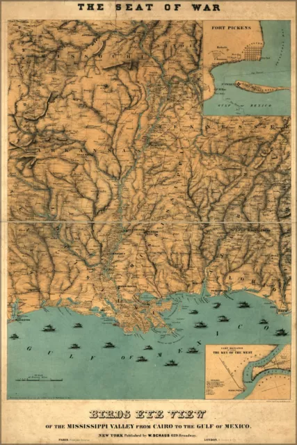
Poster, Many Sizes; Map Of Mississippi River Valley Louisiana 1861
£153.13 Buy It Now
River Valley, MS-Mississippi, Contour Farming Erosion Of Acres, Vintage Postcard
£7.64 Buy It Now or Best Offer
1990 View Mississippi River Valley Scenic Highway 79 Hannibal Missouri Postcard
£19.08£9.54 Buy It Now or Best Offer 2 watchers
Mississippi Valley Effigy Jars RPPC Postcard 1940s Ancient Pottery Museum D1447
£28.64£17.19 Buy It Now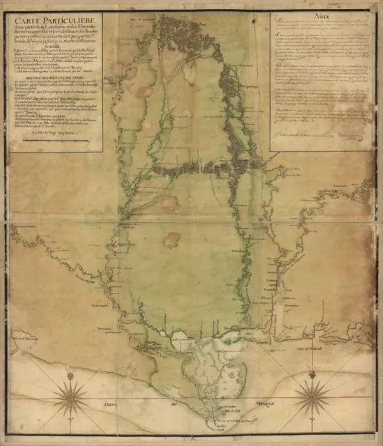
A4 Reprint of Lakes And Rivers Map Mississippi River Valley
£5.95 Buy It Now or Best Offer 1 watcher
A4 Reprint of Lakes And Rivers Map Mississippi River Valley
£5.95 Buy It Now or Best Offer 1 watcher
Sugar Loaf Mountain Upper Mississippi River Valley Scenes 1883 Antique Art Print
£21.04£18.94 Buy It Now 1 watcher
1910 The Mississippi River and its Wonderful Valley, 1st Ed., Profusely Illust.
£23.91 Buy It Now
The Mississippi River and Its Wonderful Valley (Classic Reprint)
£17.12 Buy It Now
Hannibal Missouri ~ Hwy 79 ~ Mississippi River Valley ~ aerial view ~ postcard
£1.90 Buy It Now 3 watchers
1788 French Map of the Mississippi River Valley - 16" x 20" Antique Map Print
£15.94 Buy It Now 5 watchers
Sheet 12 - 1944 Map Mississippi River Belt Mississipp Valley Harold Fisk Poster
£20.99 Buy It Now 1 watcher
Ancient Mississippi River Meander Belt; Alluvial Valley; Antique Map LSU, 1941
£28.68 Buy It Now
Mississippi River, Art Print, Fisk Mississippi Valley, Harold Fisk Maps, Sheet 7
£131.51 Buy It Now
Red Wing Minnesota Postcard Shore Mississippi River Hear Hiawatha Valley c1960
£19.08£12.40 Buy It Now or Best Offer
Red Wing Minnesota Postcard Heart Hiawatha Valley Bridge Mississippi River c1960
£28.64£18.62 Buy It Now or Best Offer
Real Photo, PRAIRIE du CHIEN, MISSISSIPPI RIVER, WISCONSIN, Railroad, Log Barge
£14.34 Buy It Now
Sheet 14 - 1944 Harold Fisk Map Mississippi River Belt Valley Mississipi Poster
£20.99 Buy It Now
Davenport Iowa Mississippi Valley Quilters Guild quilt colorful vintage postcard
£4.57 Buy It Now
GUTTENBERG, IA THE BEAUTIFUL MISSISSIPPI RIVER VALLEY 1958 Arthur Langford photo
£14.34£7.16 Buy It Now
Guttenberg Iowa IA 1940s Hwy 52 to South, Up the Mississippi River Valley Bluff
£6.69 Buy It Now or Best Offer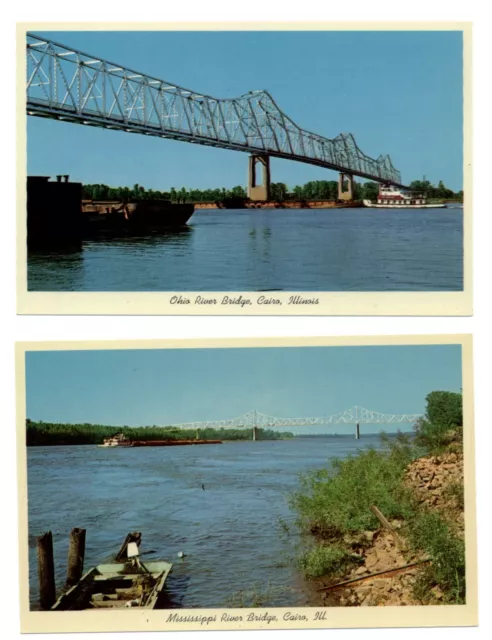
LOT OF 2 ~ Cairo Illinois ~ Mississippi and Ohio River Bridge ~ postcards
£3.77 Buy It Now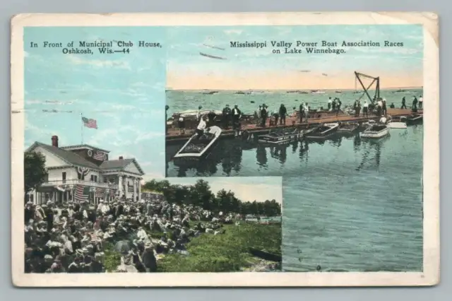
Mississippi River Valley Power Boat Races~Lake Winnebago OSHKOSH Antique 1937
£19.12 Buy It Now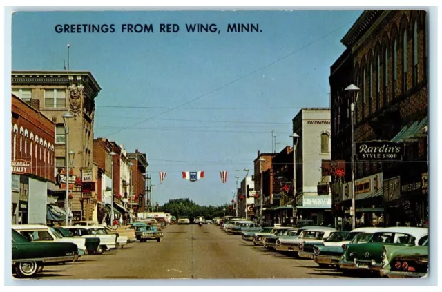
c1960 Red Wing Minnesota Mississippi River Hiawatha Valley MN Vintage Postcard
£28.64£14.33 Buy It Now or Best Offer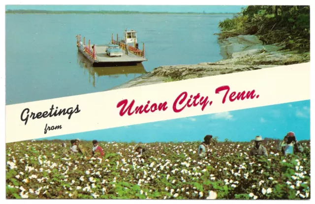
Greetings From Union City Tennessee Great Mississippi Valley Delta Boat Postcard
£14.30 Buy It Now or Best Offer
