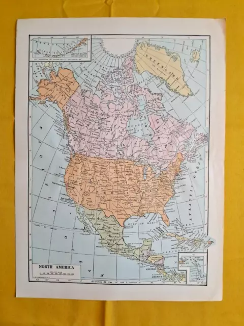
1949 NORTH AMERICA Vintage MAP Canada Atlantic ORIGINAL 11.5 x 9.5 Color C10-9
Original Map sourced from the esteemed Bibliographisches Institut of Leipzig, Germany. From Meyers Konv. Lexicon. Known for being one of the oldest and most respected publishing houses in Germany, the Bibliographisches Institut specialized in authoritative reference works. This authentic piece is not just a map but a snapshot of history, capturing the world as it was over a century ago.
Measuring 11.5"x 9.5" (approximately 29 x 24 cm)
The map's condition is as shown in the pictures.
Would make a compelling addition to any collection or as a unique gift for history enthusiasts.
Don't miss the opportunity to own a piece of history from a distinguished publishing lineage.
As a lifelong collector and world traveler, I've amassed a diverse range of collectibles, from vintage paper memorabilia to unique curiosities. After relocating to Florida from Italy, I've realized it's time to declutter and give these treasures a new home. I believe they deserve to be appreciated by fellow collectors rather than gathering dust in storage. Be sure to keep an eye on my store, as I'll be adding new pieces from various collections regularly. Stay tuned!"
Condition is as shown in the photos. Please examine the images carefully. Due to the volume of items I'm selling, I'm unable to provide individual details for each one. However, I've included multiple photos for your reference. Rest assured, the item pictured is the exact item you will receive."
⁃ Will be sent safely
⁃ We do combined shipping
- If you want to ship outside the US, please reach out to ask the shipping cost, we ship everywhere
The alphanumeric code at the bottom of the title is just our internal warehouse code
For any questions or difficulties do not hesitate to write to me, I am glad to help you.
- Condition: The map's condition is as shown in the pictures.
- Date Range: 1920-1929
- Type: Topographical Map
- Printing Technique: Lithography
- Format: Sheet Map
- US State: North America, Canada
- Year: 1928
- Original/Reproduction: Vintage Original
- Cartographer/Publisher: Meyers Konv. Lexicon
- Country/Region: United States of America
PicClick Insights - 1949 NORTH AMERICA Vintage MAP Canada Atlantic ORIGINAL 11.5 x 9.5 Color C10-9 PicClick Exclusive
- Popularity - 0 watchers, 0.0 new watchers per day, 21 days for sale on eBay. 0 sold, 1 available.
- Best Price -
- Seller - 483+ items sold. 0.5% negative feedback. Great seller with very good positive feedback and over 50 ratings.
People Also Loved PicClick Exclusive
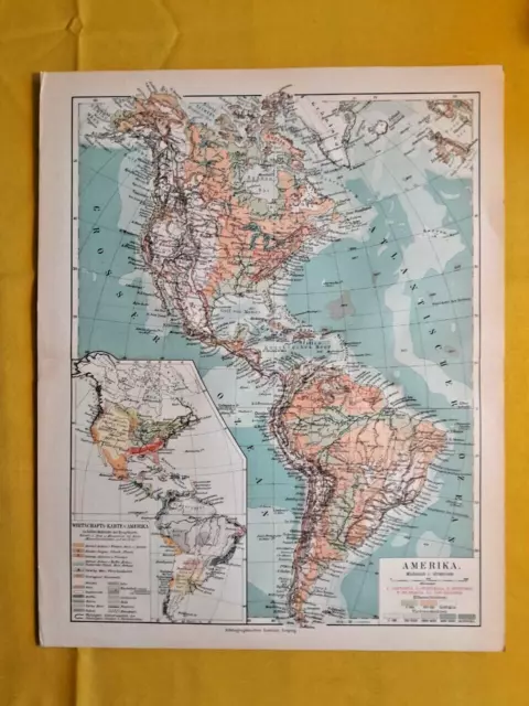
1928 AMERICA Vintage MAP North South Central ORIGINAL 11.5 x 9.5 Color C10-7
£20.01 Buy It Now 10d 12h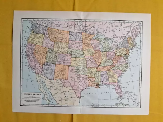
1920 UNITED STATES Vintage MAP Washington DC ORIGINAL 11.5 x 9.5 Color C10-9
£20.01 Buy It Now 10d 13h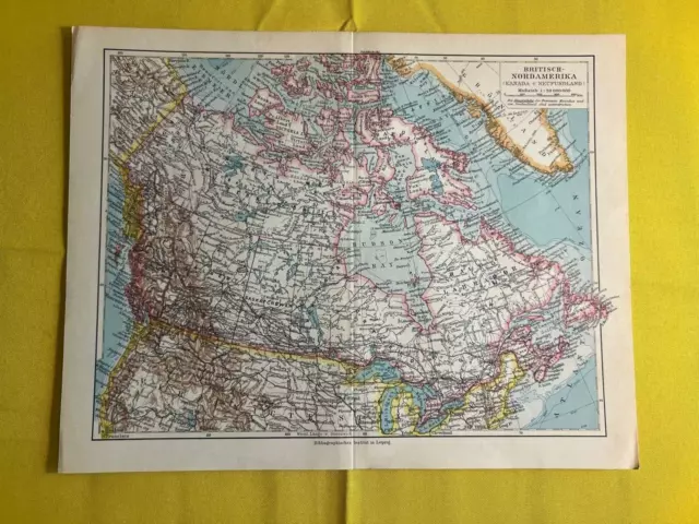
1931 - British North America (Canada) - Vintage Map ORIGINAL 11.5 x 9.5"- C11-2
£20.01 Buy It Now 10d 12h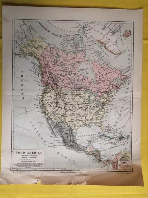
1908 - North America - Vintage Map ORIGINAL 11.5 x 9.5"- C12-4
£20.01 Buy It Now 22d 12h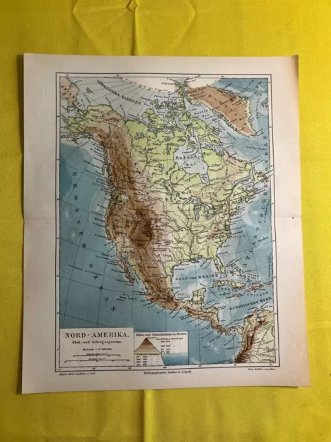
1890s - North America - Vintage Map ORIGINAL 11.5 x 9.5"- C11-2
£20.01 Buy It Now 10d 13h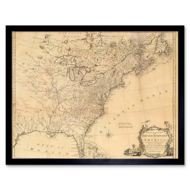
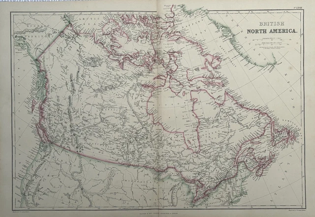
 Map Antique Eastern Seaboard 1763 North America Atlantic Ocean Framed Art Print£26.99 Buy It Now
1860 British North America, Canada Hand Coloured Antique Map by G.W. Blackie
£39.99 Buy It Now or Best Offer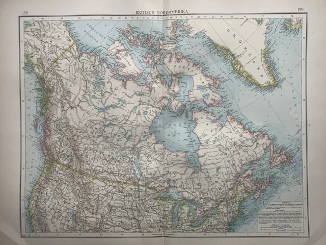 1 watcher
1899 British North America Canada Original Antique Map by Richard Andree
£19.99 Buy It Now or Best Offer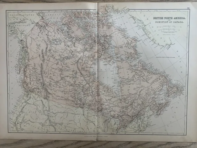
1882 British North America Canada Original Antique Colour Map By W.g. Blackie
£19.99 Buy It Now or Best Offer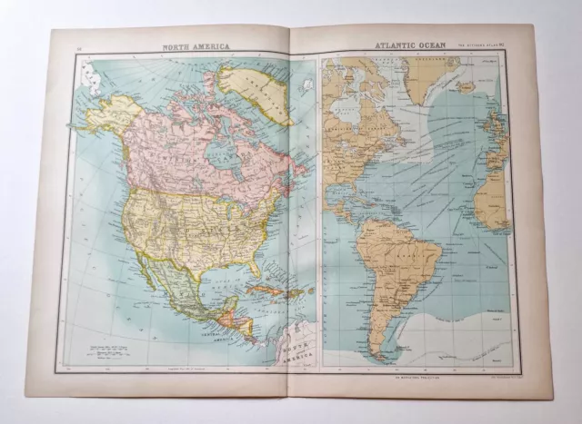
JOHN BARTHOLOMEW Original 1899 Colour Map: North America, Atlantic Ocean
£9.95 Buy It Now or Best Offer
