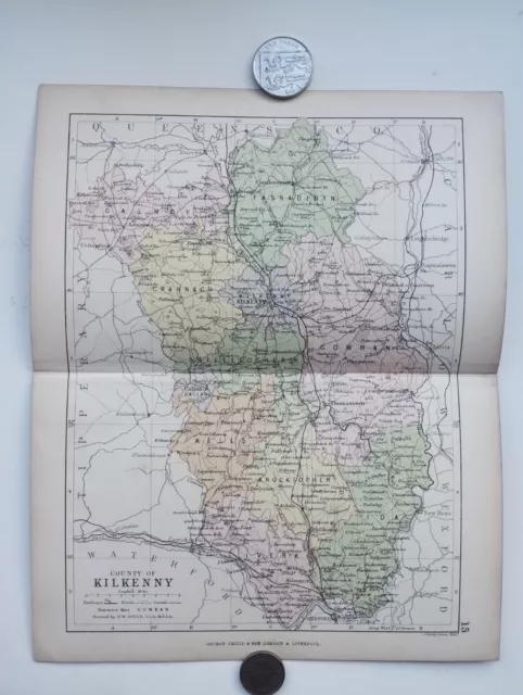
Antique County Map of KILKENNY , Ireland - Phillips Handy Atlas , 1882
£14.99 Buy It Now or Best Offer, FREE Shipping, 30-Day Returns, eBay Money Back Guarantee
Seller: staffordshirecurios ✉️ (1,974) 100%,
Location: Stafford, GB,
Ships to: GB & many other countries,
Item: 256485052058
Antique County Map of KILKENNY , Ireland - Phillips Handy Atlas , 1882. Original map extracted from an 1882 copy of
Phillips' Handy Atlas of the Counties of Ireland
Approx total paper size is 18.5 x 23cm Map is in good condition for age with some general marks and light wear associated with age, particularly to edges. see photo. Pencilled number written on reverse and some excess paper to the reverse from where it was originally extracted,
but neither visible through map Stored and shipped folded down folds seen in photo See photo
- Antique: Yes
- Date Range: 1800-1899
- Type: County Map
- Format: Atlas
- Year: 1882
- Era: 1800s
- Original/Reproduction: Antique Original
- Cartographer/Publisher: John Bartholomew
- Country/Region: Ireland
- County: Kilkenny
PicClick Insights - Antique County Map of KILKENNY , Ireland - Phillips Handy Atlas , 1882 PicClick Exclusive
- Popularity - 0 watchers, 0.0 new watchers per day, 16 days for sale on eBay. 0 sold, 1 available.
- Best Price -
- Seller - 1,974+ items sold. 0% negative feedback. Great seller with very good positive feedback and over 50 ratings.
People Also Loved PicClick Exclusive
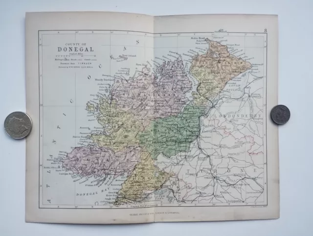
Antique County Map of DONEGAL , Ireland - Phillips Handy Atlas , 1882
£14.99 Buy It Now 14d 19h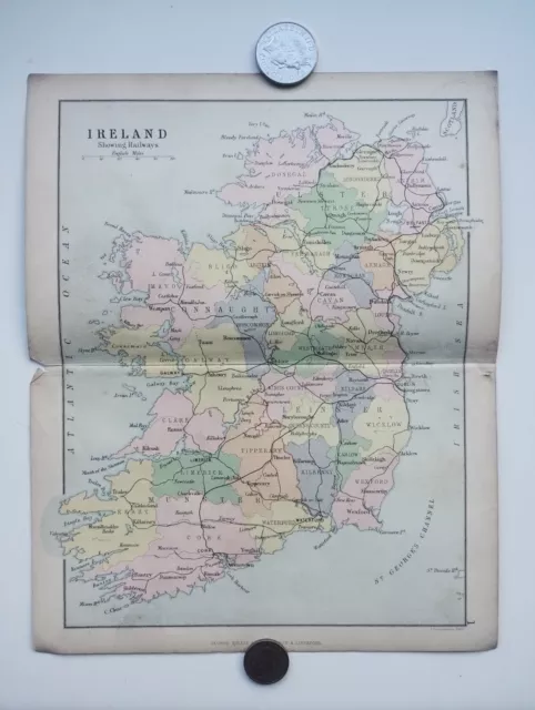
Antique County Map of Ireland - Phillips Handy Atlas , 1882
£14.99 Buy It Now 14d 19h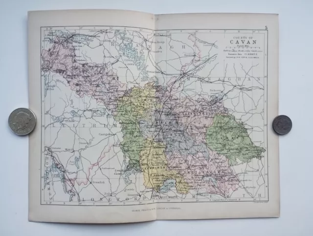
Antique County Map of CAVAN , Ireland - Phillips Handy Atlas , 1882
£14.99 Buy It Now 14d 19h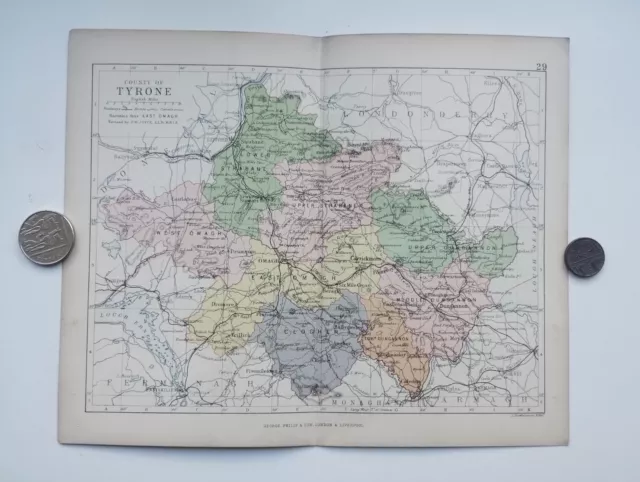
Antique County Map of TYRONE , Ireland - Phillips Handy Atlas , 1882
£18.74 Buy It Now 14d 19h
Antique/Vintage County Map of SUTHERLAND, Scotland - Phillips Handy Atlas , 1882
£9.00 Buy It Now 19d 16h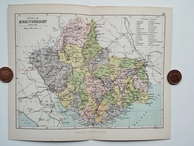
Antique County Map of KIRKCUDBRIGHT, Scotland - Phillips Handy Atlas , 1882
£9.00 Buy It Now 19d 16h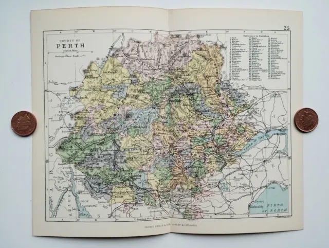
Antique/Vintage County Map of PERTH, Scotland - Phillips Handy Atlas , 1882
£9.00 Buy It Now 19d 16h
Antique/Vintage County Map of Scotland Railways - Phillips Handy Atlas , 1882
£9.00 Buy It Now 19d 16h
Antique County Map of ANTRIM, Ireland - Phillips Handy Atlas , 1882
£14.99 Buy It Now 14d 19h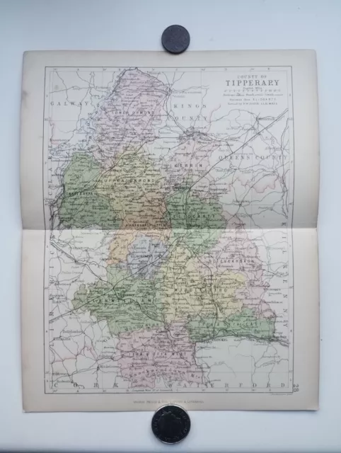
Antique County Map of TIPPERARY , Ireland - Phillips Handy Atlas , 1882
£14.99 Buy It Now 14d 19h
Antique County Map of FERMANAGH , Ireland - Phillips Handy Atlas , 1882
£14.99 Buy It Now 14d 19h
Antique County Map of KILDARE , Ireland - Phillips Handy Atlas , 1882
£14.99 Buy It Now 14d 19h
Antique County Map of ROSCOMMON , Ireland - Phillips Handy Atlas , 1882
£14.99 Buy It Now 14d 19h
Antique County Map of CLARE , Ireland - Phillips Handy Atlas , 1882
£14.99 Buy It Now 14d 19h
Antique County Map of WICKLOW , Ireland - Phillips Handy Atlas , 1882
£14.99 Buy It Now 14d 19h
Antique County Map of ARMAGH , Ireland - Phillips Handy Atlas , 1882
£14.99 Buy It Now 14d 19h
Antique County Map of MONAGHAN , Ireland - Phillips Handy Atlas , 1882
£14.99 Buy It Now 14d 19h
Antique County Map of WEXFORD , Ireland - Phillips Handy Atlas , 1882
£14.99 Buy It Now 14d 19h
Antique County Map of WATERFORD , Ireland - Phillips Handy Atlas , 1882
£14.99 Buy It Now 14d 19h
Antique County Map of SLIGO , Ireland - Phillips Handy Atlas , 1882
£14.99 Buy It Now 14d 19h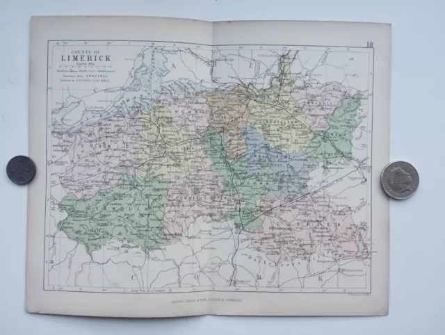
Antique County Map of LIMERICK , Ireland - Phillips Handy Atlas , 1882
£14.99 Buy It Now 14d 19h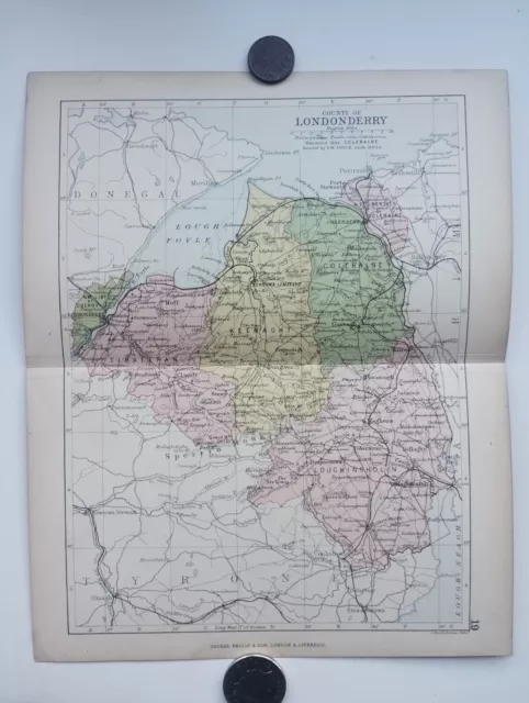
Antique County Map of LONDONDERRY , Ireland - Phillips Handy Atlas , 1882
£14.99 Buy It Now 14d 19h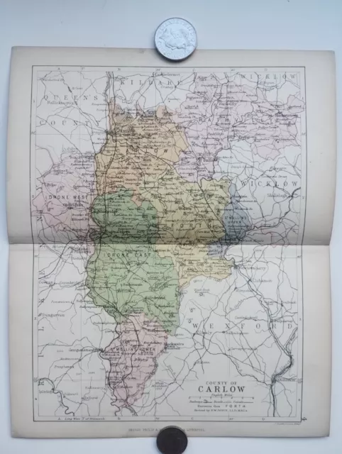
Antique County Map of CARLOW , Ireland - Phillips Handy Atlas , 1882
£14.99 Buy It Now 14d 19h
Antique County Map of LOUTH , Ireland - Phillips Handy Atlas , 1882
£14.99 Buy It Now 14d 19h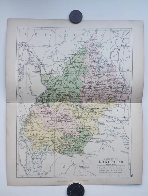
Antique County Map of LONGFORD, Ireland - Phillips Handy Atlas , 1882
£14.99 Buy It Now 14d 19h
Antique County Map of CORK , Ireland - Phillips Handy Atlas , 1882
£14.99 Buy It Now 14d 19h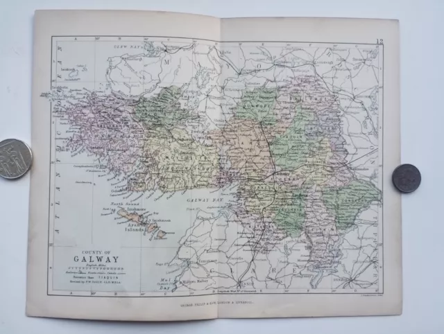
Antique County Map of Galway , Ireland - Phillips Handy Atlas , 1882
£14.99 Buy It Now 14d 19h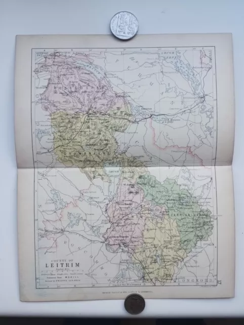
Antique County Map of LEITRIM , Ireland - Phillips Handy Atlas , 1882
£14.99 Buy It Now 14d 19h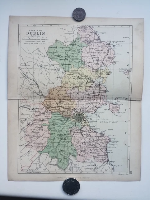
Antique County Map of DUBLIN , Ireland - Phillips Handy Atlas , 1882
£14.99 Buy It Now 14d 19h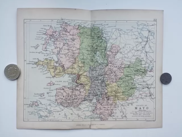
Antique County Map of MAYO , Ireland - Phillips Handy Atlas , 1882
£14.99 Buy It Now 14d 19h 1 watcher
Framed Whiskey map of Ireland
£35.00 Buy It Now 1 watcher
County Kilkenny Parliamentary. Ireland. BOUNDARY COMMISSION. Whitlock 1917 map
£27.00 Buy It Now 2 watchers
1896 Wexford, Wicklow, Kilkenny map. Victorian Ireland print. Leinster.
£12.12 Buy It Now or Best Offer 2 watchers
COUNTY KILKENNY. Antique county map. Leinster. Ireland. BARTHOLOMEW 1882
£16.00 Buy It Now 1 watcher
King’s County, King’s County & Kilkenny, Ireland, Antique Map, c1842
£12.00 Buy It Now or Best Offer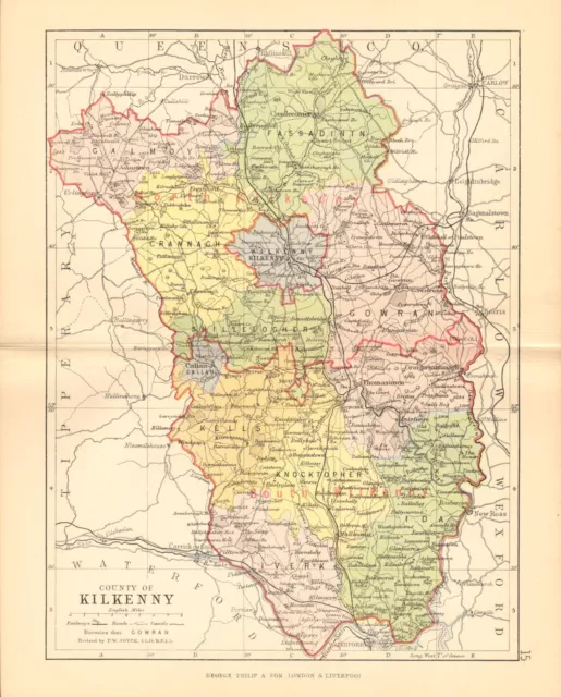 2 watchers
COUNTY KILKENNY. Antique county map. Leinster. Ireland. BARTHOLOMEW 1886
£14.00 Buy It Now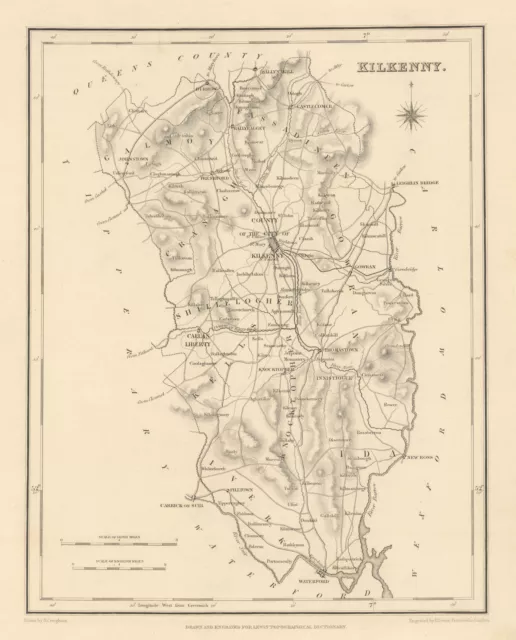
COUNTY KILKENNY antique map for LEWIS by CREIGHTON & DOWER - Ireland 1837
£30.00 Buy It Now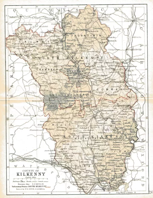
A3 size repro/map of County Kilkenny Ireland, original dated 1897.
£7.50 Buy It Now
COUNTY KILKENNY antique map for LEWIS by CREIGHTON & DOWER. Ireland 1850
£30.00 Buy It Now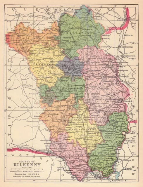 2 watchers
COUNTY KILKENNY antique map. Leinster. Ireland. JOYCE 1905 old
£11.00 Buy It Now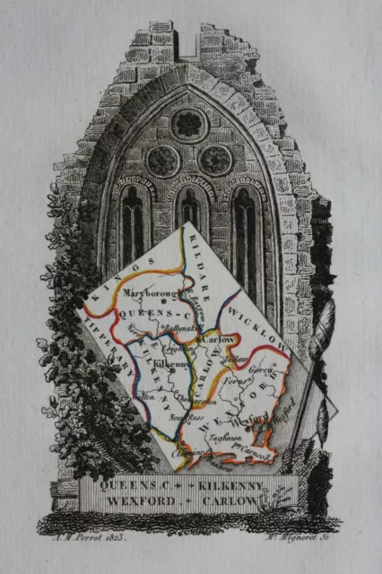
 IRELAND, KILKENNY, WEXFORD, CARLOW, original antique miniature map, Perrot 1828£33.00 Buy It Now
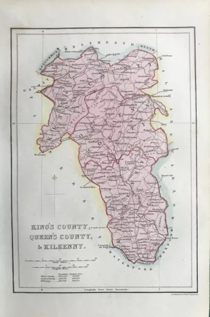
1841 Antique Map; Counties of Kilkenny, Laois & Offaly, Ireland
£17.99 Buy It Now 1 watcher
 COUNTY KILKENNY IRELAND IRISH VINTAGE MAP ART PRINT Poster Decor Wall A4A3A2£14.99 Buy It Now
Kilkenny, County Kilkenny, Republic of Ireland, City Map Cotton Shopper Tote Bag
£12.99 Buy It Now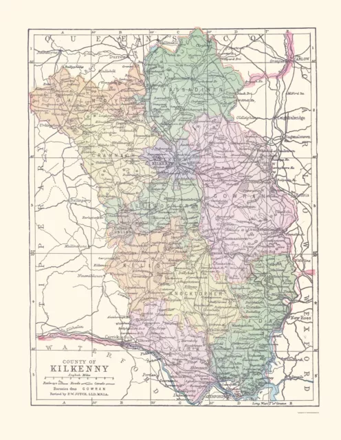
Kilkenny County Ireland - Bartholomew 1882 - 23.00 x 29.68
£90.81 Buy It Now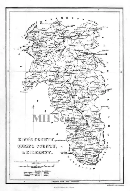
IRELAND, King's County, Queen's County & Kilkenny Antique Map c1841
£14.00 Buy It Now 1 watcher
 LAOIS, KILKENNY, WEXFORD, CARLOW, IRELAND antique minature map, Perrot, 1824£35.00 Buy It Now or Best Offer
 2 watchers
COUNTY KILKENNY antique map for LEWIS by CREIGHTON & DOWER - Ireland 1846
£30.00 Buy It Now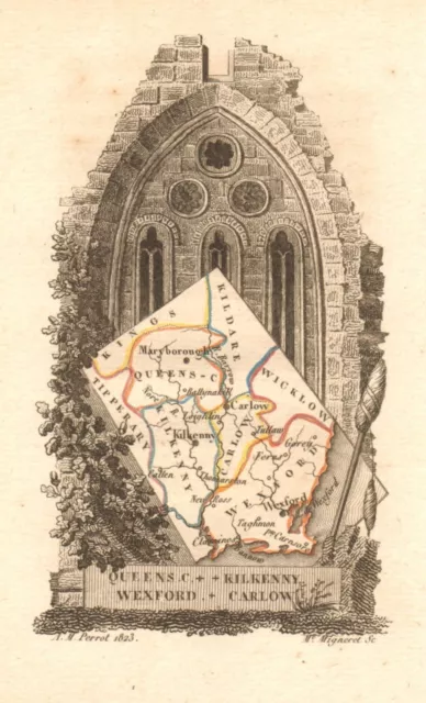
QUEENS COUNTY/LAOIS, KILKENNY, WEXFORD & CARLOW antique county map. PERROT 1824
£42.00 Buy It Now 2 watchers
COUNTY KILKENNY antique map for LEWIS by CREIGHTON & DOWER. Ireland 1846
£32.00 Buy It Now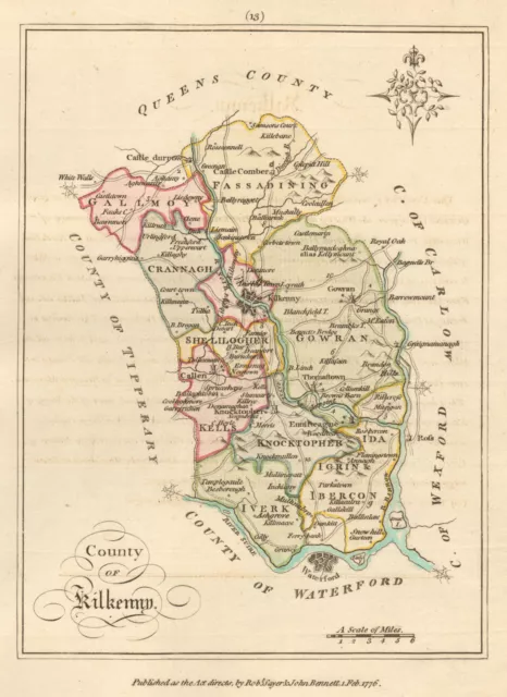 4 watchers
County of Kilkenny, Leinster. Antique copperplate map by Scal� / Sayer 1776
£50.00 Buy It Now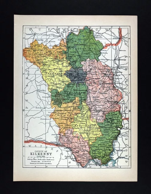
1900 Ireland Map Kilkenny County Ireland Callan Thomastown Carrick on Suir Clogh
£19.92£15.93 Buy It Now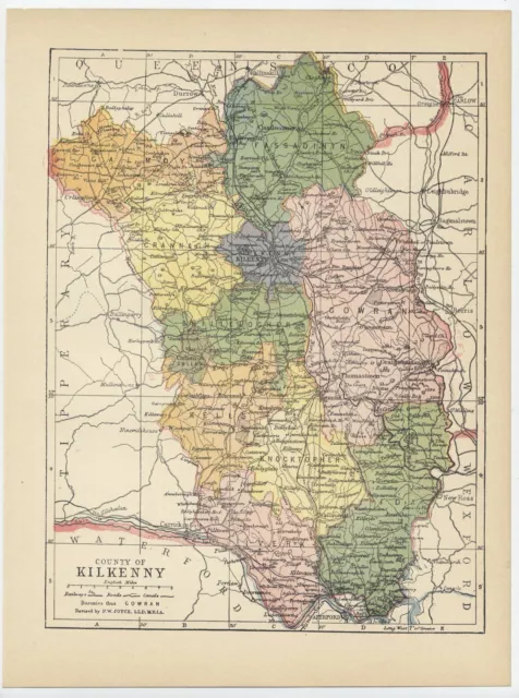
1902 Antique Map Of The County Of Kilkenny / Ireland
£23.46 Buy It Now or Best Offer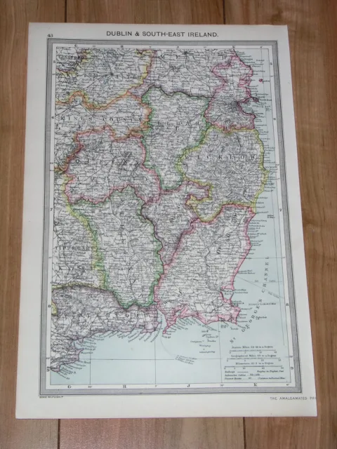
1908 Antique Map Of Dublin Wicklow Wexford Waterford Kilkenny Kildare / Ireland
£18.94 Buy It Now or Best Offer
