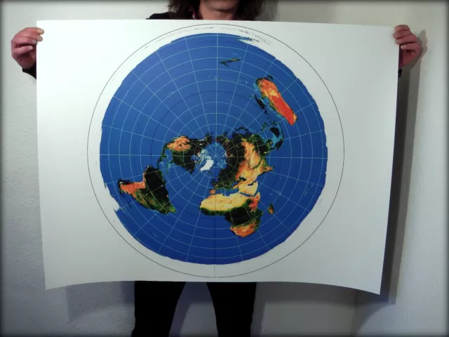
FLAT EARTH POSTER: Azimuthal Equidistant Projection - USGS Nautical Radar Map XL
£39.99 Buy It Now, FREE Shipping, eBay Money Back Guarantee
Seller: f-e-t-c-h ✉️ (953) 100%,
Location: Aberdeen, GB,
Ships to: WORLDWIDE,
Item: 142225594878
FLAT EARTH POSTER: Azimuthal Equidistant Projection - USGS Nautical Radar Map XL. Flat Earth Theory Cartography & History 'Azimuthal Equidistant Projection' >>> Item Dispatched Within 24hrs! - TRACKED/SIGNED <<< Author: Al-Biruni Title: Azimuthal Equidistant Projection Size : 40x30 inch (101.6cm x 76.4cm) Print : Four colour process (CMYK digital printing) Stock : 220mic PVC Weatherproof Tarpaulin (soft plastic) Production time: 1 working day UK Delivery time : 2-3 Days Method : Royal Mail Tracked & Signed What you get from me..
Hello flat earth researcher and welcome to my eBay page. First off, If you are reading this then you are a genuine awakened soul looking to own a piece of history that reflects your world view and you’ve came to the right place.
- Full colour restoration that keeps the gradient of the original version using professional CMKY digital printing, fresh off the press.
- Delivery dispatched within 24hrs Royal Mail / Parcelforce 48. UK Delivery within 3 days and international delivery 7 – 10 days.
Don’t be put off by the ebay delivery due date as the duration is to allow more delivery time for countries further away. Items sent from Aberdeen, Scotland, UK.
It’s hugely important to me that you receive the best quality print as possible so I will only use high quality well sourced materials to do the job. Any questions just drop me a mail and ill get back to you promptly.
Please check out my ebay feedback for customer comments and reference.
Cheers and well done you!
- Condition: >>> Item Dispatched Within 24hrs! - TRACKED/SIGNED <<<
- Map View: World
- Cartographer/Publisher: Flat Earth
- Printing Technique: Professional CMYK Digital Printing
- Original/Reproduction: Contemporary
- Format: Wall Map
- Type: World Atlas
- Year: 1950's
- Date Range: 1950-1959
- Era: 1950s
PicClick Insights - FLAT EARTH POSTER: Azimuthal Equidistant Projection - USGS Nautical Radar Map XL PicClick Exclusive
- Popularity - 18 watchers, 0.0 new watchers per day, 2,686 days for sale on eBay. Super high amount watching. 6 sold, 5 available.
- Best Price -
- Seller - 953+ items sold. 0% negative feedback. Great seller with very good positive feedback and over 50 ratings.
People Also Loved PicClick Exclusive

1902 Map of the World on Mercators Projection antique vintage Britannica 10th
£6.50 Buy It Now 5d 15h
c1854 WORLD ON MERCATOR'S PROJECTION Genuine Antique Map by Rapkin
£9.99 0 Bids 8d 19h
Political World Map Poster - Miller Projection
£5.97 Buy It Now 1d 3h
James Wyld World on Mercator Projection large map on cloth 1861 modern copy
£8.00 0 Bids 4d 22h
Colorprint World Map Mercator Projection American Map Co 50"x38" & USA Map Vtg
£7.17 Buy It Now 20d 1h
PRINCIPAL WORLD AIR ROUTES. Atlantis projection. Airways. BARTHOLOMEW 1947 map
£30.00 Buy It Now 5d 16h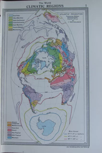
1954 Map ~ The World Climatic Regions Atlantis Projection Mountain Sub-Polar
£38.00 Buy It Now 24d 1h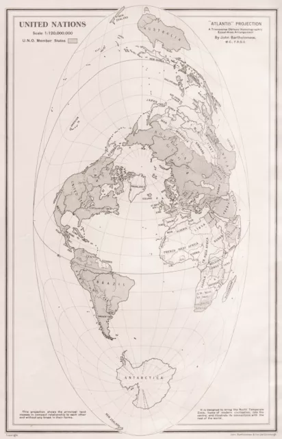
WORLD (ATLANTIS PROJECTION) . United Nations member states. BARTHOLOMEW 1952 map
£13.00 Buy It Now 14d 20h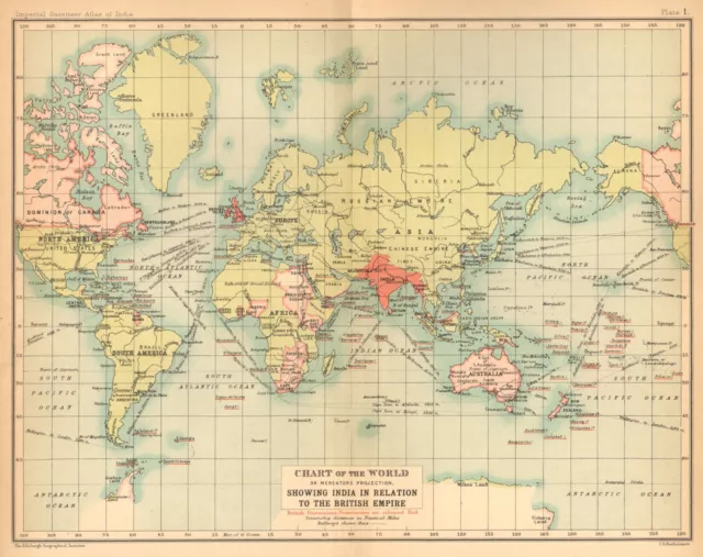
World Mercator's on projection. India in relation to the British Empire 1909 map
£23.00 Buy It Now 14d 19h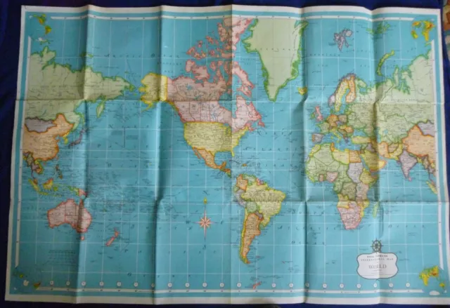
Vintage Daily Express International Map of the World On Mercator's Projection
£17.99 Buy It Now 17d 3h
Stanford's General Map Of The World On Mercator's Projection (1985).
£7.93 Buy It Now 5d 13h
1899 DATED The WORLD Map on Mercators Projection. Large map, soft pastel colors
£15.12 Buy It Now 22d 13h
Map of The World On Mercators Projection antique style poster
£9.99 Buy It Now 20d 21h
WORLD ON MERCATOR'S PROJECTION unusually Pacific-centred. JOHNSTON 1913 map
£33.00 Buy It Now 19d 21h
Map 1913: The World On Mercator’s Projection Vintage Antique Original #1
£4.95 Buy It Now 21d 14h
1780 Bonne Unusual Antique Original World Map On Mercator's Projection
£59.78 Buy It Now 27d 6h
SOUTH ASIA AUSTRALIA Indian Ocean Gnomonic Projection China SDUK 1844 old map
£50.00 Buy It Now 4d 21h
Map Of The World Color On Mercator’s Projection Samuel Ward c1900s
£15.94 Buy It Now 25d 2h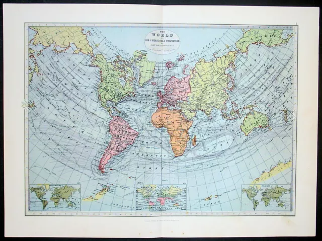
1885 George Philip Large Antique World Map on Herschel's Projection
£48.74 Buy It Now 5d 14h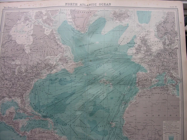
1920 MAP OF NORTH ATLANTIC OCEAN On Mercators Projection Plate 81 Times Atlas
£20.00 Buy It Now 16d 22h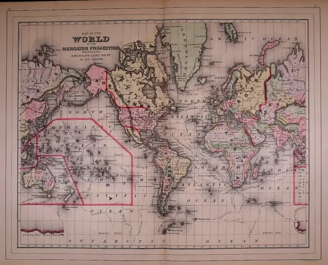
1887 Map of the WORLD on MERCATOR'S PROJECTION - EARLY OCEAN ROUTES (15X24)#1806
£17.53 Buy It Now 27d 23h
Huge Colorful 1958 Wall Map THE WORLD ON MERCATOR PROJECTION by Rand McNally
£15.14 Buy It Now 4d 17h
World Map on Mercator's Projection Interwar Years c. 1930's private promo map
£29.89 Buy It Now 23d 0h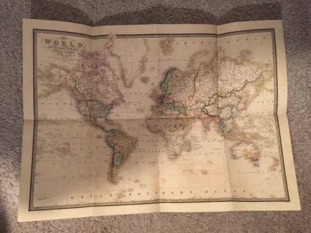
1861 World Map (New) On Mercators Projection James Wild Geographer to the Queen
£31.08 Buy It Now 18d 22h
28x36 1958 Huge USGS map of Green County, Kentucky Greensburg
£11.96 Buy It Now 22d 23h
WORLD ON MERCATOR'S PROJECTION, original antique atlas map, Bacon 1890
£30.00 Buy It Now 16d 16h
World on Mercator's Projection showing the British Empire. BARTHOLOMEW 1862 map
£60.00 Buy It Now 18d 15h
World on Mercator's Projection by John Dower. British Empire in pink 1876 map
£50.00 Buy It Now 19d 17h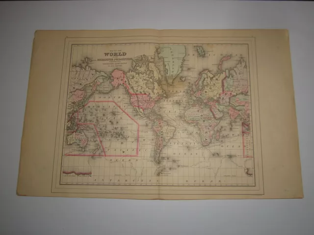
1887 William Bradley Map of the World Mercator Projection from Bradley's Atlas
£35.86 Buy It Now 13d 21h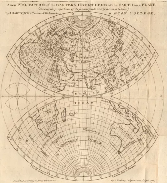
New projection of the Eastern Hemisphere of the Earth on a plane. BOWEN 1776 map
£110.00 Buy It Now 18d 20h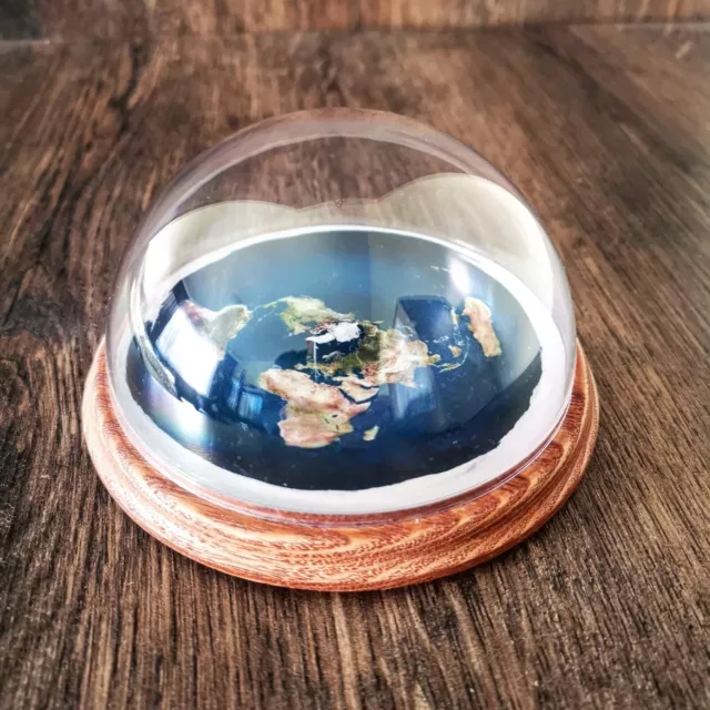 17 watchers
Flat Earth Model Azimuthal Equidistant Projection Map Ash Wood Base Hand Made Fe
£30.00 Buy It Now 55 watchers
Flat Earth Model Azimuthal Equidistant Projection Map - Ash Wood Base Hand Made
£30.00 Buy It Now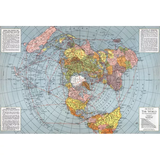 74 watchers
Flat Earth Map - 1943 Air Map Polar Azimuthal Equidistant Projection Map
£23.86 Buy It Now 86 watchers
Flat Earth Map Polar Azimuthal Equidistant Projection 1943 WWII Poster 20x30
£14.30 Buy It Now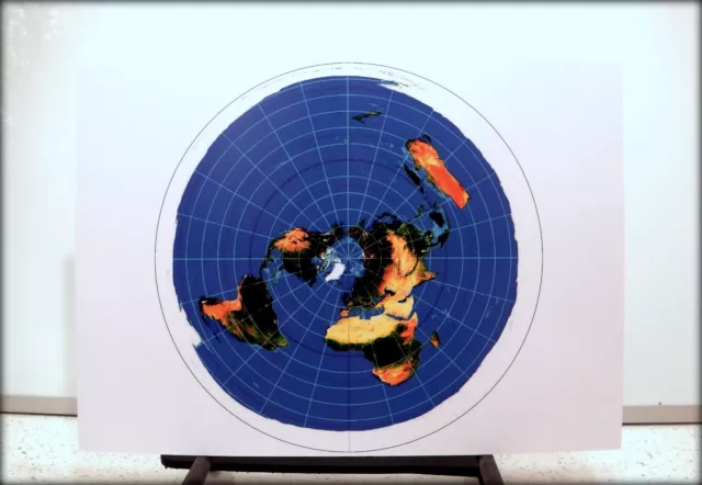 34 watchers
Flat Earth Print (A3) AZIMUTHAL EQUIDISTANT PROJECTION - USGS WORLD RADAR MAP
£9.99 Buy It Now 67 watchers
Flat Earth Model Azimuthal Equidistant Projection Map Display Dome Hand Made
£29.00 Buy It Now 8 watchers
Flat Earth Model Azimuthal Equidistant Projection Map Display Dome Hand Made New
£29.00 Buy It Now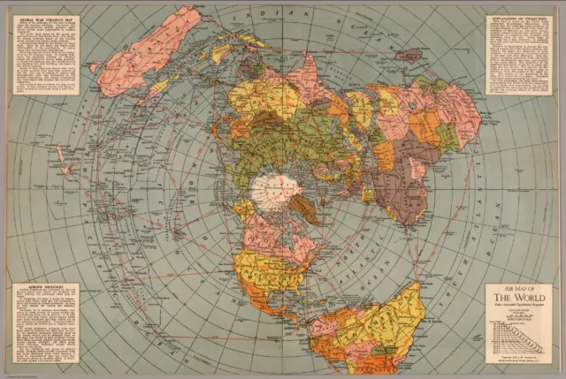 1 watcher
Flat Earth Map Polar Azimuthal Equidistant 1943 WALL POSTER (SZ: A4 A3 A2 A1 A0)
£8.99 Buy It Now 11 watchers
Flat Earth Display Azimuthal Equidistant Projection Map Ash Wood Base Hand Made
£29.00 Buy It Now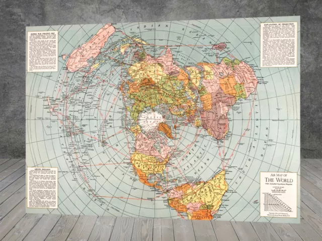 11 watchers
1943 Flat Earth World War II Map Polar Azimuthal poster print wall canvas 580
£12.67 Buy It Now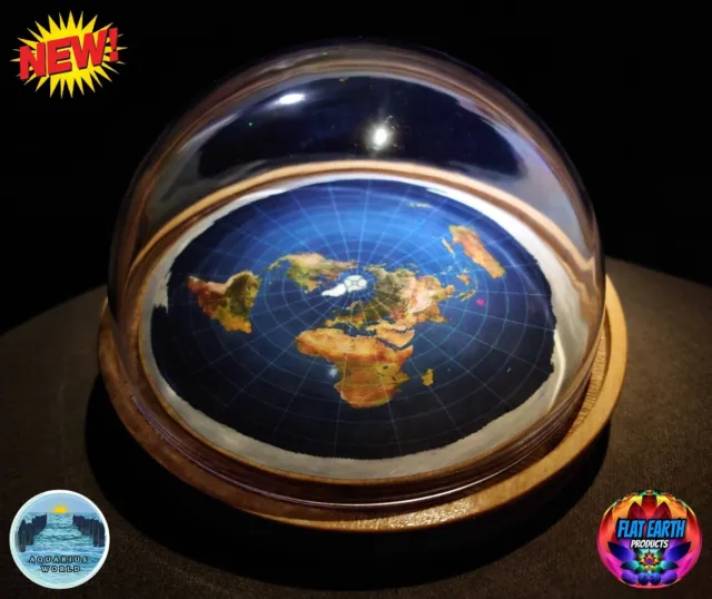 71 watchers
FLAT EARTH MODEL Azimuthal Equidistant Map Dome Wood Base Snow Globe Hand-Made 2
£60.21 Buy It Now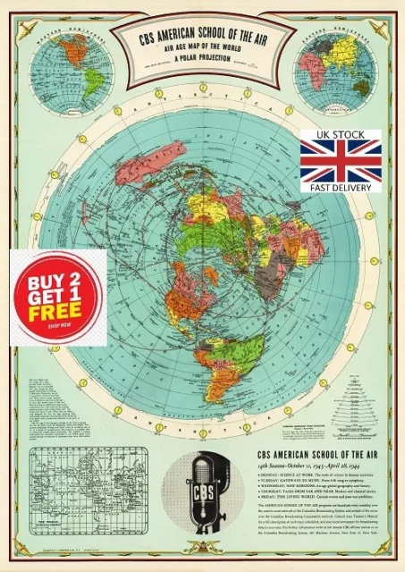 15 watchers
🇬🇧 Flat Earth Air age map of the world A polar projection A3 on Special Canvas
£8.49 Buy It Now 24 watchers
Flat Earth Map Polar Azimuthal Equidistant Projection 1943 WWII Poster 16x24
£11.43 Buy It Now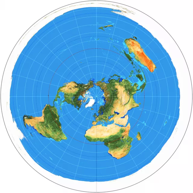 67 watchers
Azimuthal Equidistant Projection Flat Earth Map Zetetic Geo Centric USGS Naval
£20.99 Buy It Now 53 watchers
Flat Earth Map Polar Azimuthal Equidistant Projection 1943 WWII Poster 24x36
£19.08 Buy It Now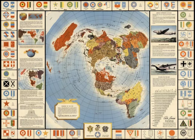 6 watchers
Map Global War and Peace Azimuthal Equidistant North Polar Projection Flat Earth
£11.12 Buy It Now 9 watchers
1943 Flat Earth World War II Map Polar Azimuthal Equidistant Projection Poster
£13.34 Buy It Now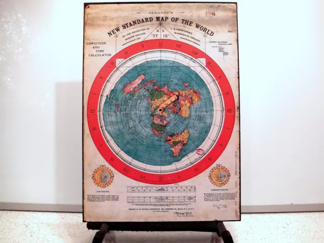 180 watchers
Flat Earth Poster - Gleasons New Standard Map Of The World 1892 (350gsm) A3 size
£9.99 Buy It Now
Flat Earth Poster - Gleasons New Standard Map Of The World 1892 (350gsm) A3 size
£7.49 0 Bids 1d 1h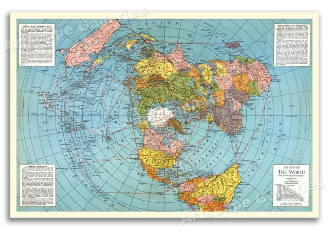 21 watchers
Flat Earth Map Polar Azimuthal Equidistant Projection 1943 WWII Poster - 20x30
£18.12 Buy It Now 1 watcher
Flat Earth Map Polar Azimuthal Equidistant Projection 1943 WWII Classic Poster
£16.25£13.00 Buy It Now 19 watchers
Flat Earth Map Polar Azimuthal Equidistant Projection 1943 WWII Poster - 24x36
£24.82 Buy It Now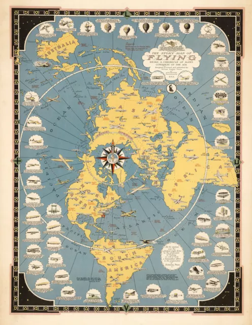 7 watchers
1942 Flat Earth Map Story of Flying Polar Azimuthal Equidistant Projection Print
£36.30 Buy It Now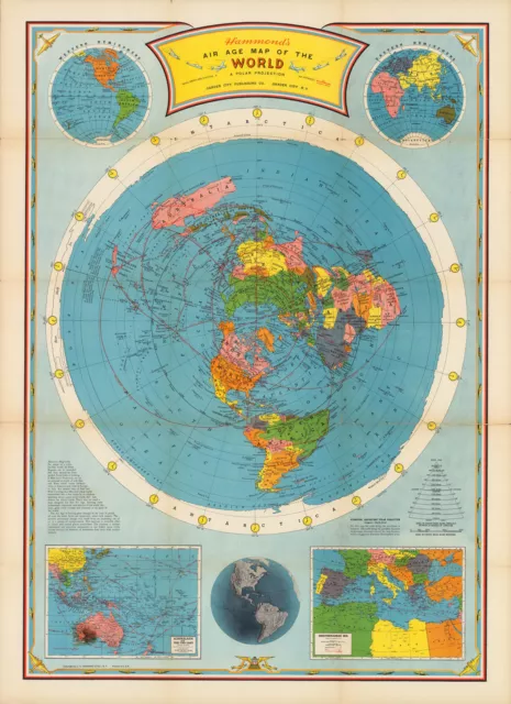 43 watchers
1946 Flat Earth Air Age Map of the World Azimuthal Equidistant Polar Projection
£36.30 Buy It Now
