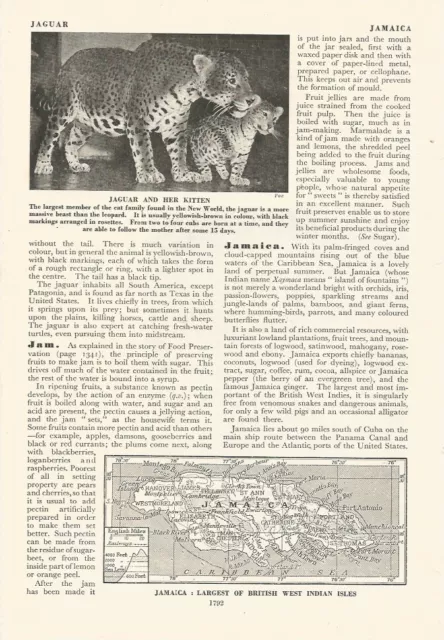
JAMAICA LARGEST OF BRITISH WEST INDIAN ISLES MAP c 1950 OLD ILLUSTRATION PRINT
Size - Height 6 1/2 inches (17cm) X Width 9 3/4 inches (25cm)
Please note map is obviously smaller than these dimensions
Item type: This is an old illustration (it is not a modern copy) , which has been extracted from an old rare book. On reverse side there will be text and/or images. Provenance can be given upon purchase if required.
Condition: Good; Please check the scan for any blemishes prior to making your purchase. Virtually all antiquarian maps & prints are subject to some normal ageing due to use and time which is not obtrusive unless otherwise stated.Perfect for mounting for home, business, interior decorators, hotels, historic museums, pubs, boardrooms and restaurants.The item also may aid Archeologists, Colleges, Universities, Ancestry or Media Researchers.
Payment: We are happy to combine shipping on all items purchased. PayPal is our prefered method of payment. We accept PayPal payments from buyers all over the world. PayPal is the safest, easiest and quickest way to make online purchases. If you are purchasing multiple items, please add all the items to your shopping basket before proceeding to the checkout. If you do not already have a PayPal account, simply click on the 'Buy It Now' button and follow the eBay checkout instructions. You will then be able to enter your card details in order to pay via PayPal even if you do not already have a PayPal account. Paying via PayPal also ensures that your purchase is fully protected and guaranteed.
Postage: We are happy to send items Worldwide. For Rates check our local and international Postage Rates above. We are happy to combine shipping on all items purchased. All products are delivered securely in an envelope reinforced with card (small), a reinforced hard back envelope for A4 (large), or a postal tube (extra large), with trying to keep it as environmentally friendly as possible.
Returns Policy: If for any reason you are not satisfied with your order we will gladly accept a return for refund or credit. If you wish to return goods you MUST inform us within 30 days of receipt of your order. Please do not return goods without prior consent. All returns must be received in a perfect re-saleable condition in order for refunds to be granted. If the item you return does not arrive in perfect re-saleable condition we cannot offer any refund.
Please feel free to take a look at my other items
Which include the following subjects -
Greece,Egypt,China,India,The Wars, Animals, Dancing, Ships, Boats, Sailing, Portraits, Fine Art, Old and Antique Prints, Engravings, Victorian Life, Victorian Culture, Kings, Queens, Royalty, Travels, Adventures, Railway Trains, Natural History, Birds, Fish, Mammals, Fishing, Hunting, Shooting, Fox Hunting, Sports including Tennis, Cricket, Football, Horse Racing , Maps & Much more.
G48
- Condition: Used
- Type: Print
- Subject: MAP
- Year of Production: c 1950
- Date of Creation: c 1950
- Width (Inches): 6 1/2 inches (17cm)
- Originality: Original
- Height (Inches): 9 3/4 inches (25cm)
PicClick Insights - JAMAICA LARGEST OF BRITISH WEST INDIAN ISLES MAP c 1950 OLD ILLUSTRATION PRINT PicClick Exclusive
- Popularity - 0 watchers, 0.0 new watchers per day, 87 days for sale on eBay. 0 sold, 1 available.
- Best Price -
- Seller - 171+ items sold. 0% negative feedback. Great seller with very good positive feedback and over 50 ratings.
People Also Loved PicClick Exclusive

COLOUR MAP RUSSIA LARGEST COUNTRY IN THE WORLD / c 1950 OLD ILLUSTRATION PRINT
£14.94 Buy It Now 26d 11h
CUBA LARGEST OF THE WEST INDIES MAP c 1926 ILLUSTRATION PRINT
£16.19 Buy It Now 17d 15h
KINGSTON JAMAICA. Vintage town plan. West Indies. Caribbean 1935 old map
£7.00 Buy It Now 17d 0h
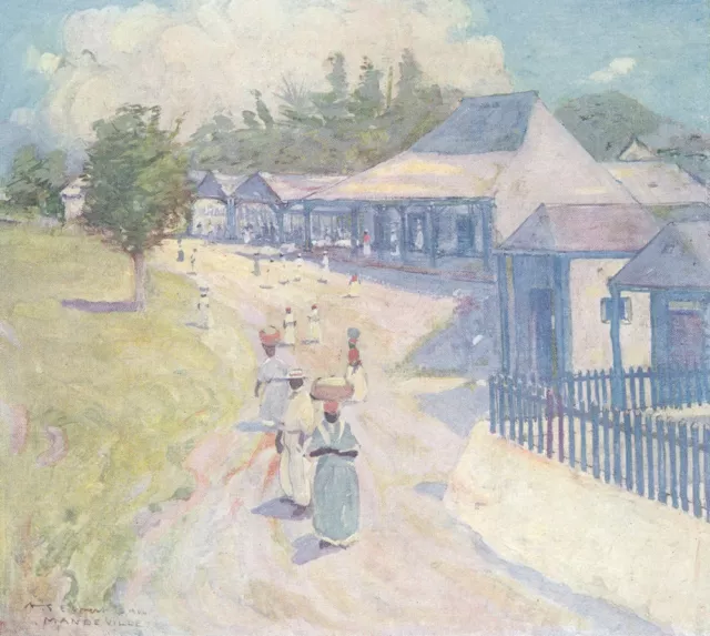
WEST INDIES. The Market, Mandeville, Jamaica 1905 old antique print picture
£9.00 Buy It Now 1d 4h
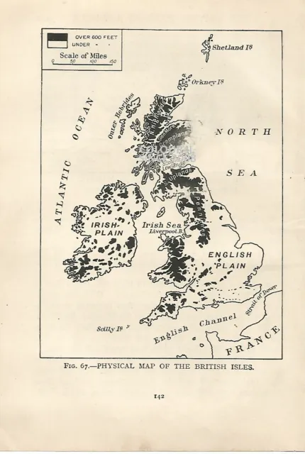
Britain Physical Map Of The British Isles 1931 Book Illustration Print
£8.95 Buy It Now 3d 14h 1 watcher
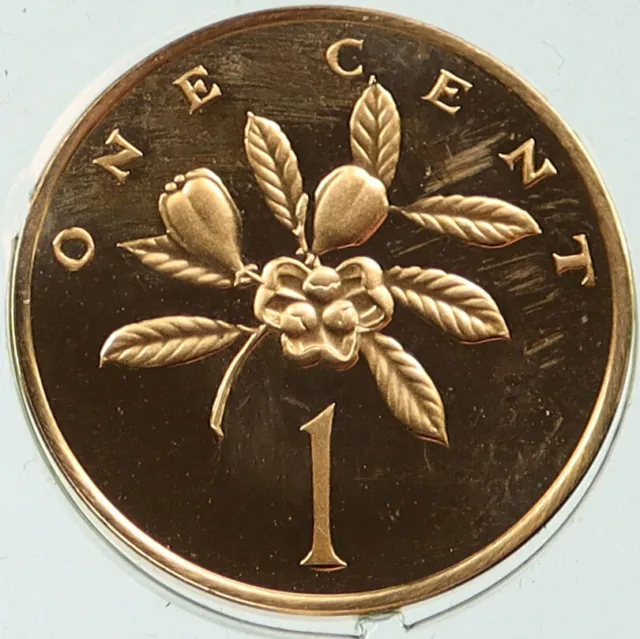
1972 JAMAICA Food Ackee Fruit Blighia Sapida VINTAGE Proof 1 Cent Coin i115823
£74.21£33.40 Buy It Now or Best Offer
